Table of Contents
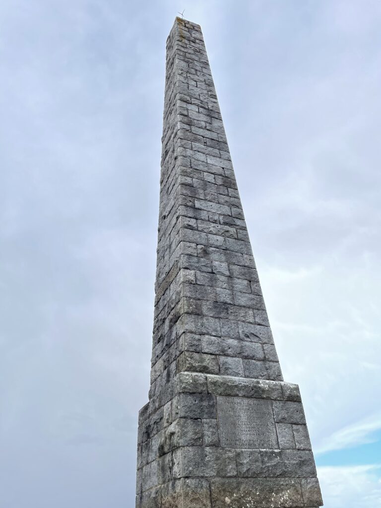
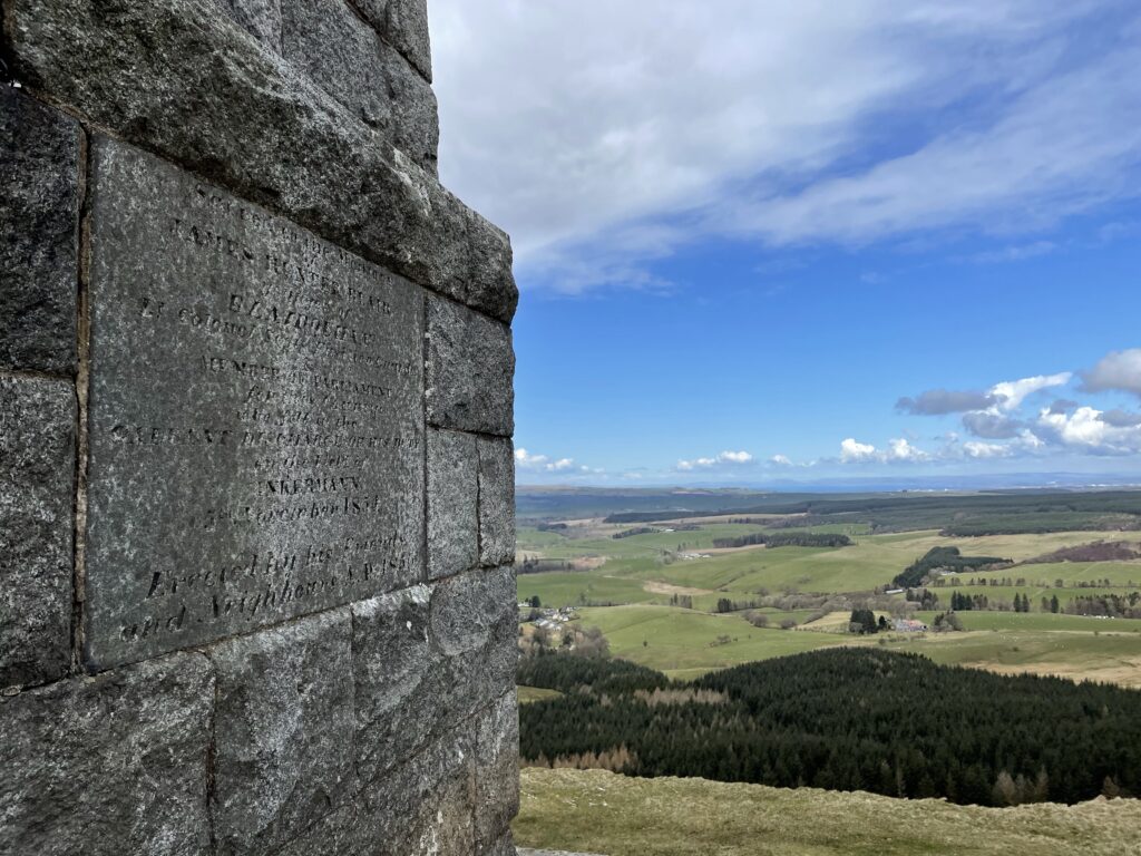
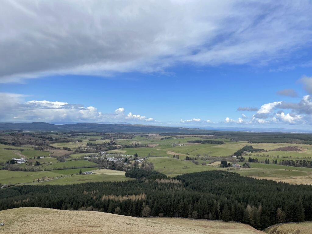
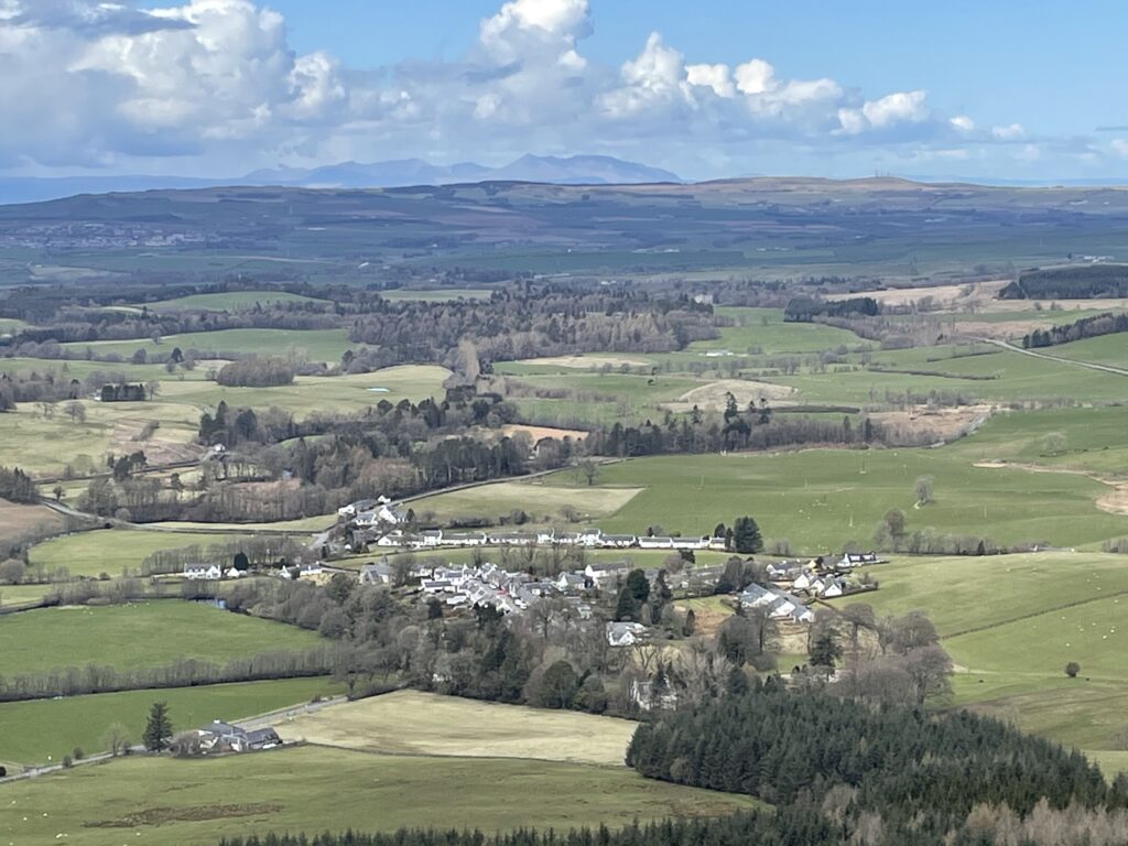
This is a lovely walk only 7 miles from Maybole, the short loop will take only a couple of hours or so and rewards you with some incredible views in this beautiful landscape. The highlight is the Station Monument from which you can see far to the west and over to the isle of Arran. A healthy mixture of accent and steady walking. The route is also dog-friendly providing they are kept on a lead.
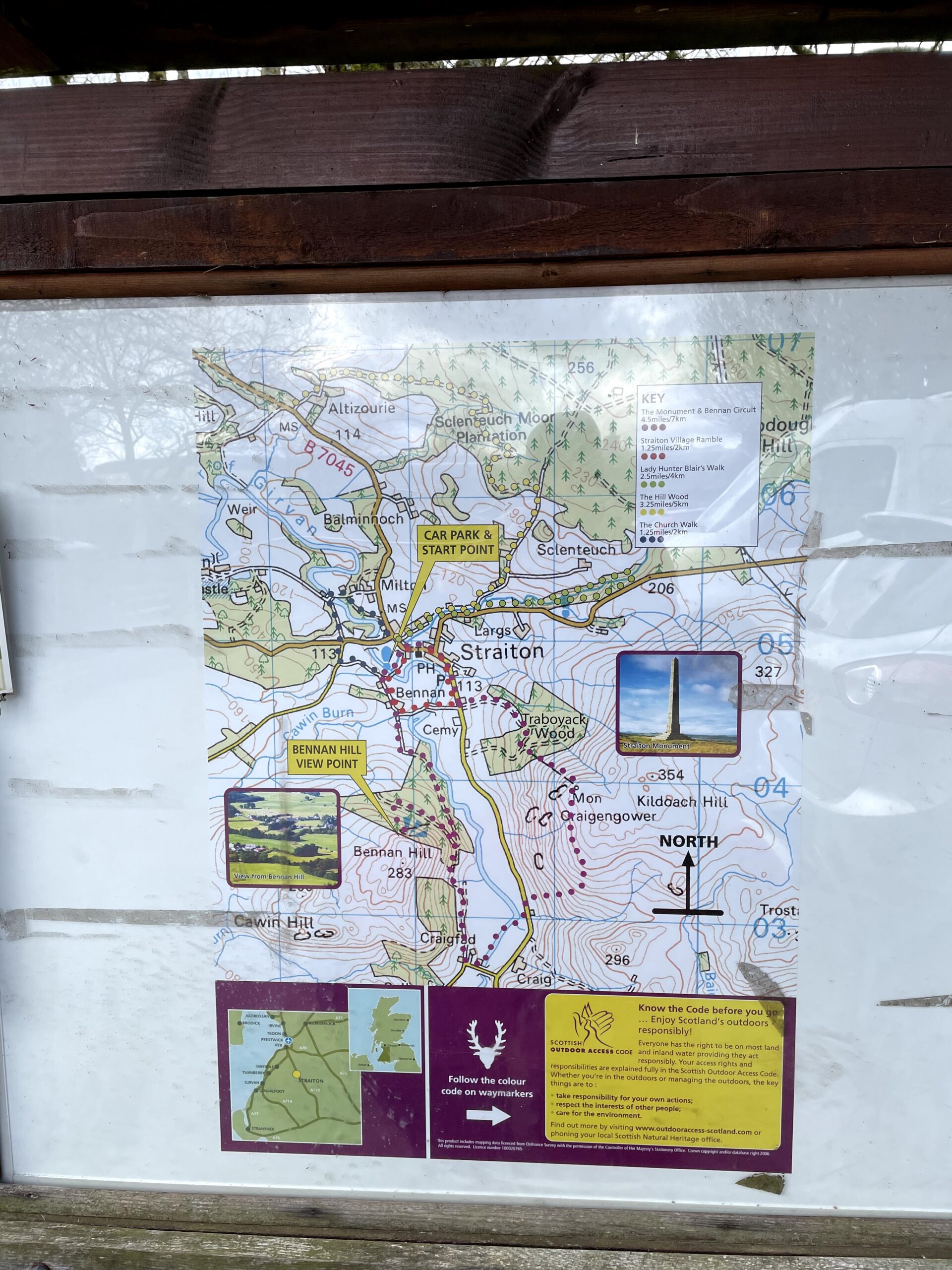
This is a well-marked route and having found it online, I’ve included a published route on Outdoor Active. You can download the GPX or follow the route via their app. It is also one of the routes that you can find on the information board in the car park at the walk start point.
My first walk of this route was on 11th April 2021, still in ‘Stay Local’ at the time and had travelled from our home nearby. As is common in Scotland we started with snow on the ground and finished in blazing sunshine getting the most out of the seasons.
For more information on Straiton and the monument, see the Visit Straiton website – https://visitstraiton.com/about/straiton-a-little-history/
Walk Details
- Start/Finish: Car park in Straiton
- Distance: 7.4km
- Ascent: 264m
- Map: OS Explorer Map (326) Ayr and Troon (sponsored link)
- Walk Date: 11th April 2021
Please Keep Your Dog on a Lead
Local Amenities
Shops
- Straiton Stores. Tel. 01655 770 293
Refreshments
- The Buck. Coffee • Cakes • Crafts
- The Black Bull. Tel. 01655 770 240
More information for eating and drinking near Straiton at https://visitstraiton.com/eat/
Accommodation
See https://visitstraiton.com/stay/ for accommodation nearby
Route also can be found on ViewRanger via this link
Turn by Turn Route Guide
Start
Check out the information board at the car park, you will see there are other walking routes in this area, including this walk.
Stage 1
Stage one takes you from the car park through the village of Straiton and out again before starting the ascent to Straiton Monument.
Leaving the car park, turn right onto the B7045 (Kirkmichael Road) and proceed over a quaint bridge before heading up the main street of the village with it’s wide street and beautiful cottages.
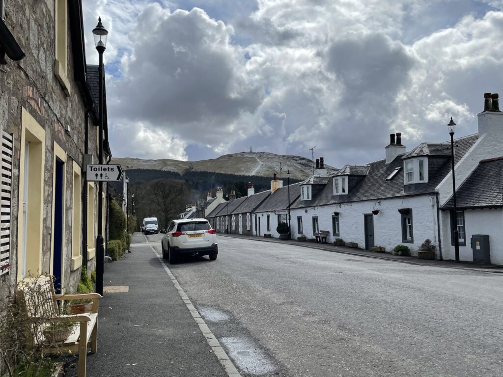
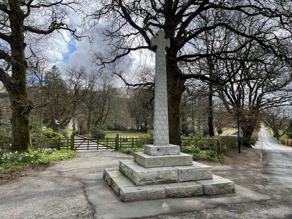
Continue through the village until you reach a right-hand bend. Follow the road round to the right and head out of the village and you will be able to see the obelisk of Straiton Monument. Use the footpath past the primary school and shortly afterwards you will approach a gate signposted ‘Bennan Hill Circuit.
Stage 2
This stage is the ascent of Straiton Monument.
You will approach a well marked ‘Bennan Hill Circuit’ Signpost taking you across a field up towards a tree line.
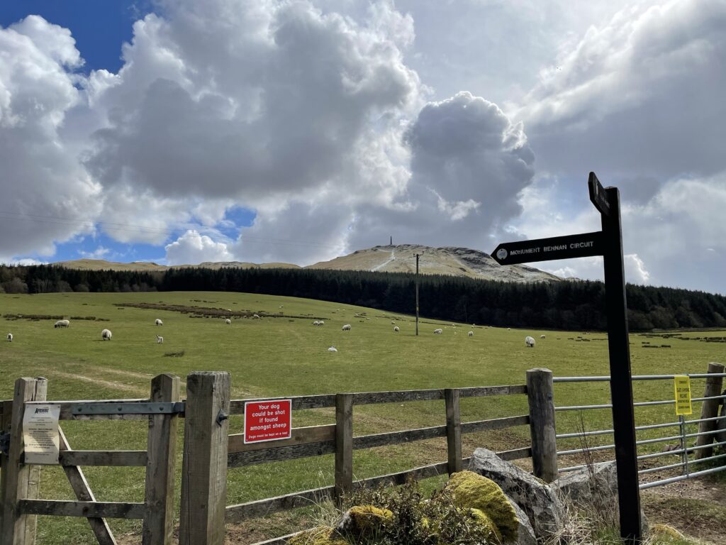
Enter filed and follow well treaded path toward the tree line and follow the tree line toward the top of the filed to enter gate into
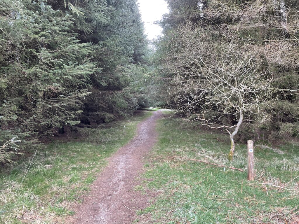
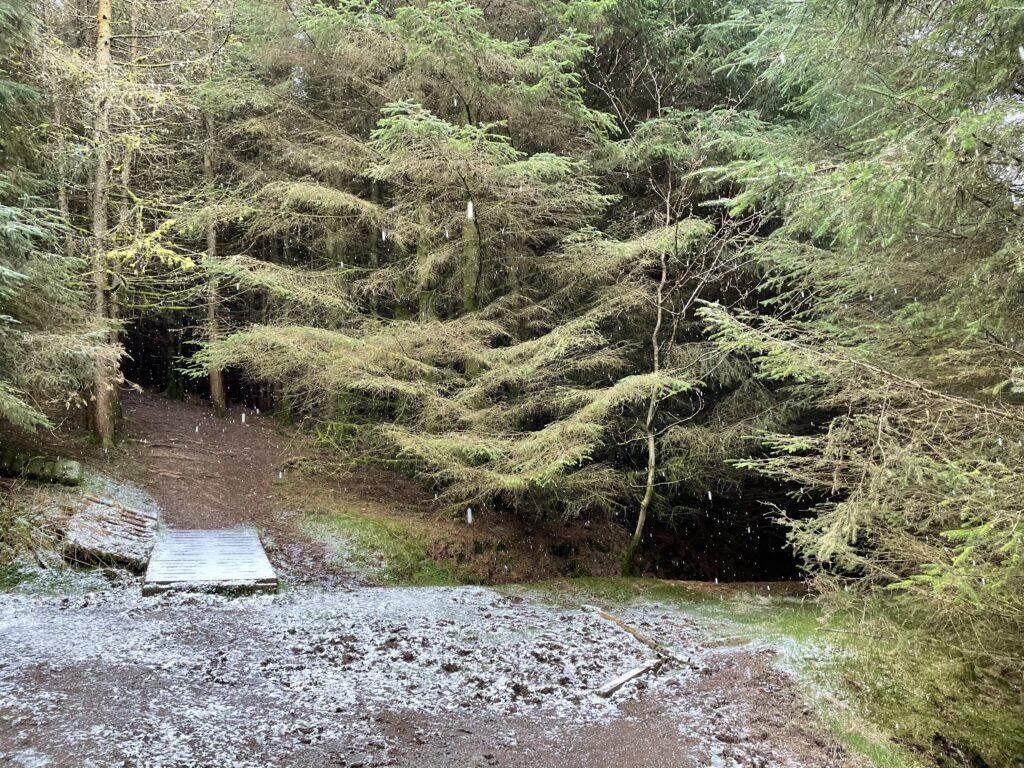
Follow the track into the woods which veers left, over a board walk and uphill towards a style over a wall.
Upon reaching the style you will have a clear view of the monument standing tall on top of what appears and is a steep ascent.
Stage 3
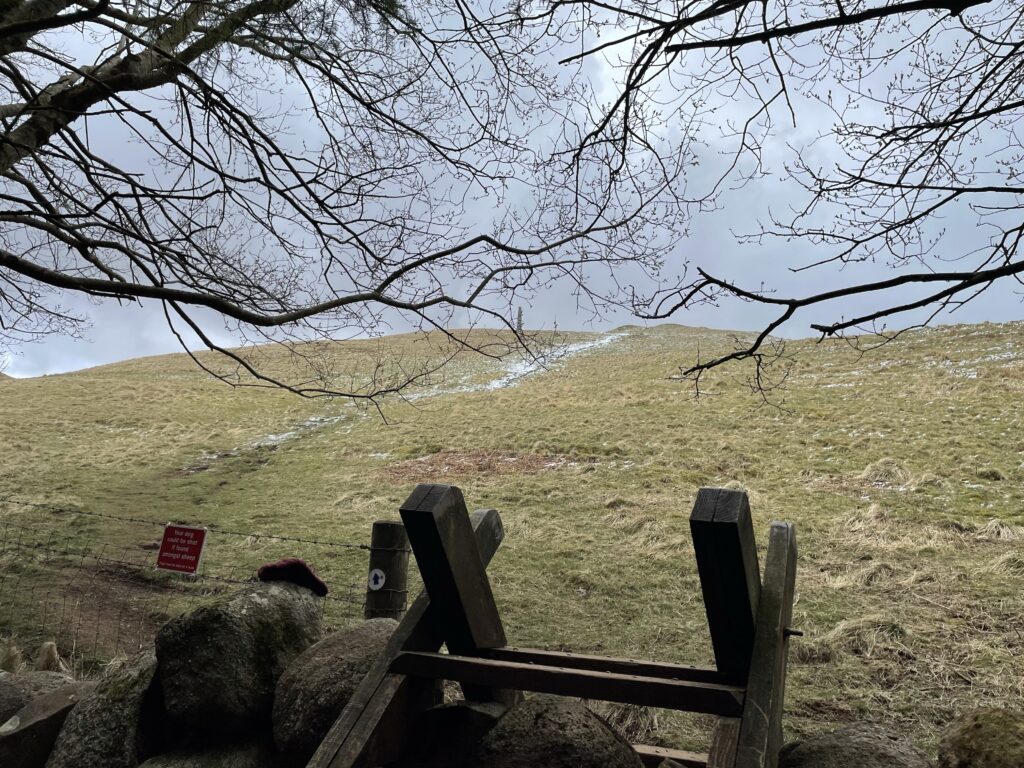
The accent up towards the monument is steep and can be slippy when wet, take care of the accent, it is short and sharp and soon levels out with a view of the monument only a short distance away.
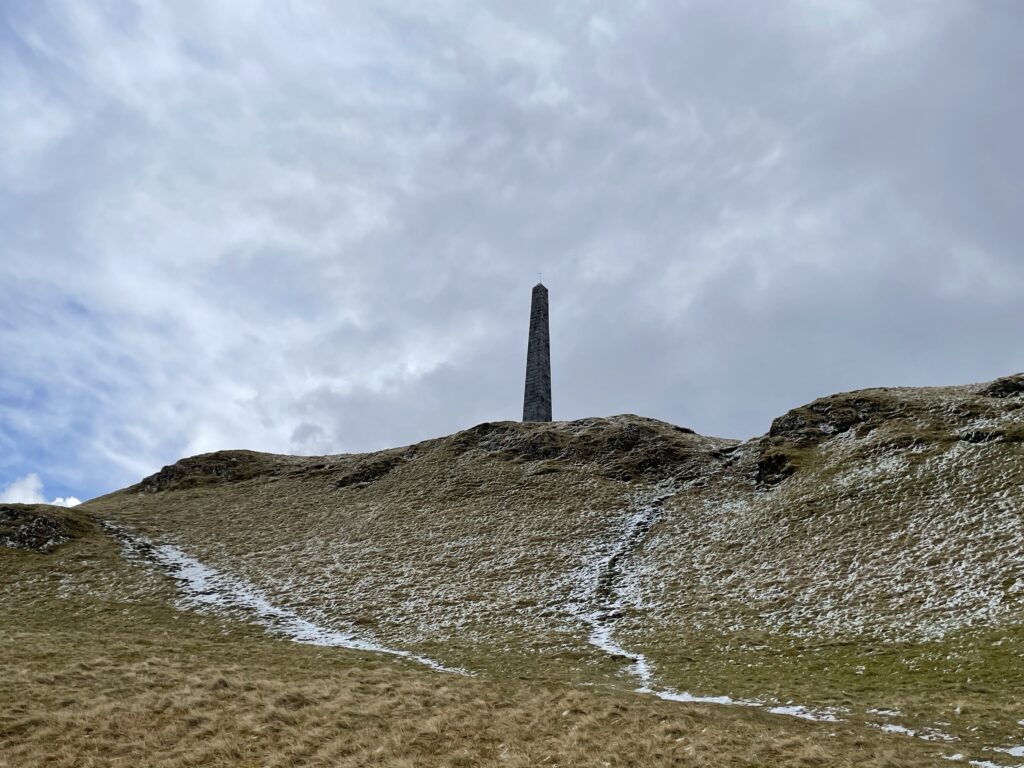
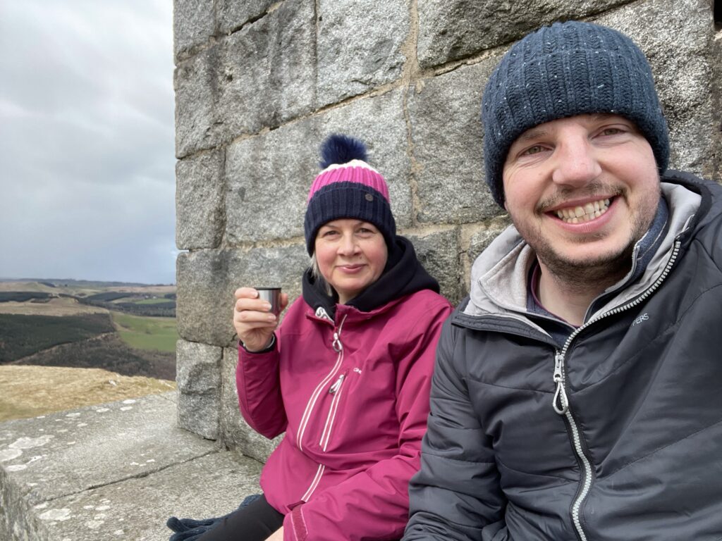
The monument is incredibly impressive and offers excellent views, take some time to take in the views and find a sheltered spot for a selfie or a cup of hot chocolate.
Stage 4
Now for the descent, the least signposted part of the route is in this stage however there signposts that help you navigate as you descend.

Stage 5
From the road we head ver to the over side of the valley and follow the forrest tract back towards Straiton.
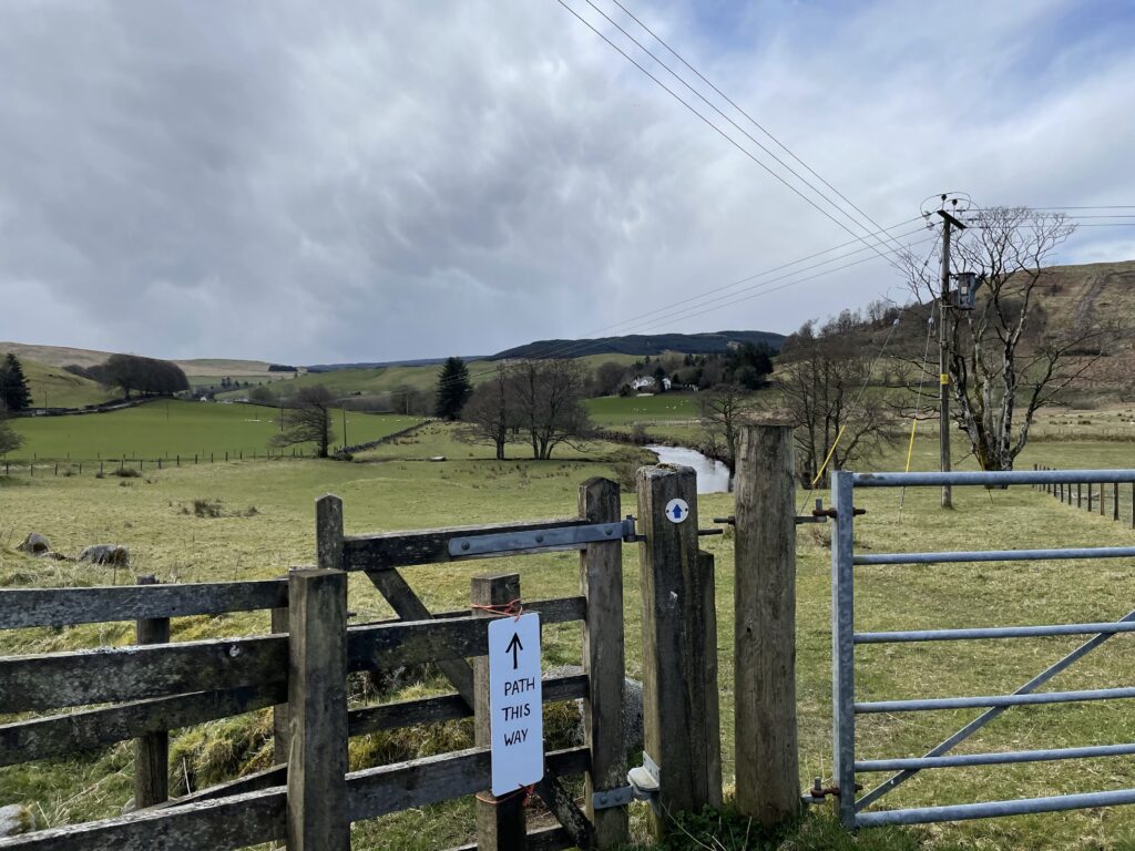
head through the kissing gate and across the field towards the river, the path runs parallel to the river and ends at a bridge where you climb partially collapsed wooded steps to the road.
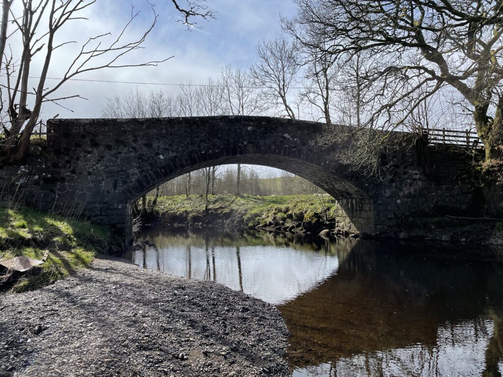
Turn right onto the road and after a short distance at a bend, you will take the track to the right past a house that opens up onto a track.
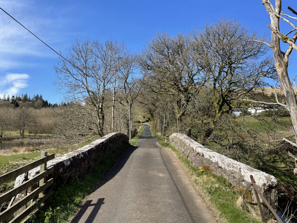
Stage 6
The route now follows this forest track which eventually opens up onto a wide forest road. You will access the forest road via a gate and it is on a bend, the route goes right here to traverse the hillside.
There is also an option to ascend Bennan Hill by going left and left to a track to access the view Bennan hill, re-tracing your step to re-join the route.
Stage 7
Once out of the forested area the track enters a field with a right turn towards the road. You will once again be greeted with views of Straiton Monument and you will re-0join the main road at the point you left the road in the first stage of the route.
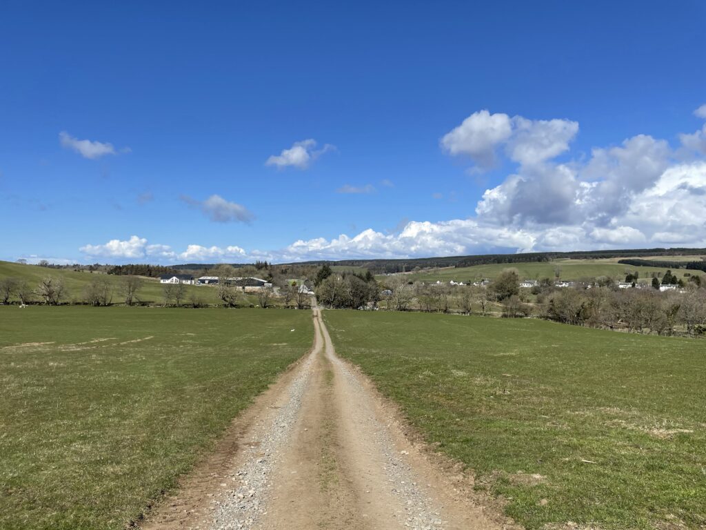
Simply retrace your steps from the beginning of the route back to the car park, why not stop for a coffee at The Buck or a pint at The Bull.
I hope you enjoyed this walk, if you have done it, please leave a comment and maybe a photo or review the leave a review on OutdoorActive.

